Property purchased February 26, 2021. Lot 9C-2
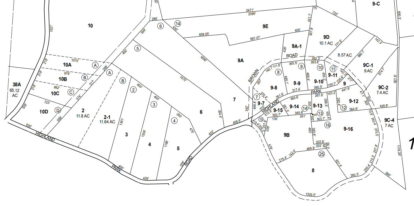
Boundaries of Lot 9C-2. Photographs follow the boundary map
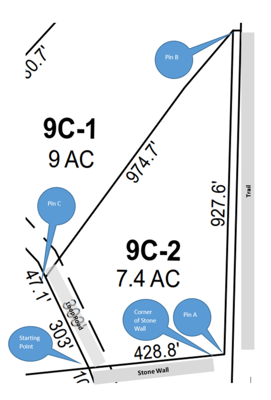
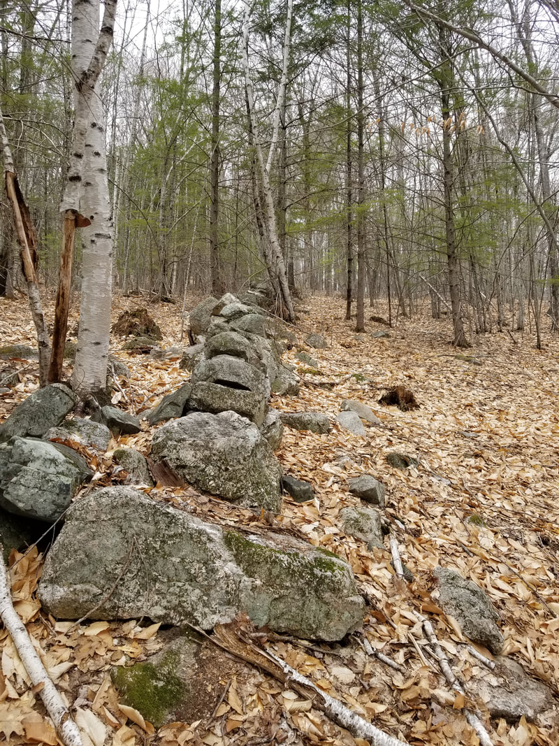
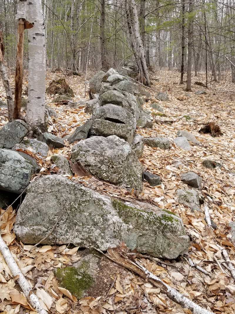
The Southern boundary of the property is market by a stone wall (don't know if it is particularly old). The first two pictures from the left look along the stone wall up the road, the third picture looks down the stone wall. A video of the wall follows.
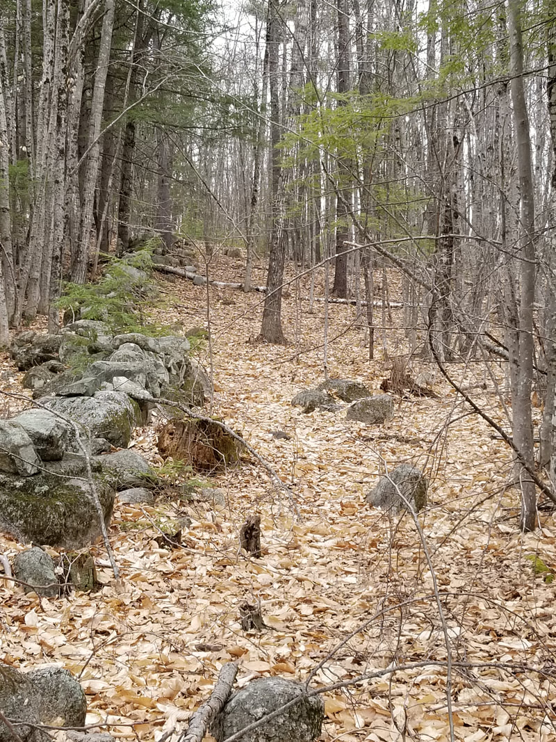
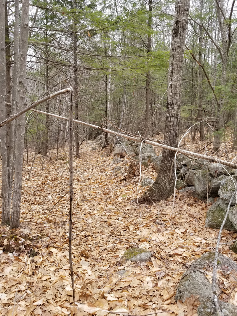
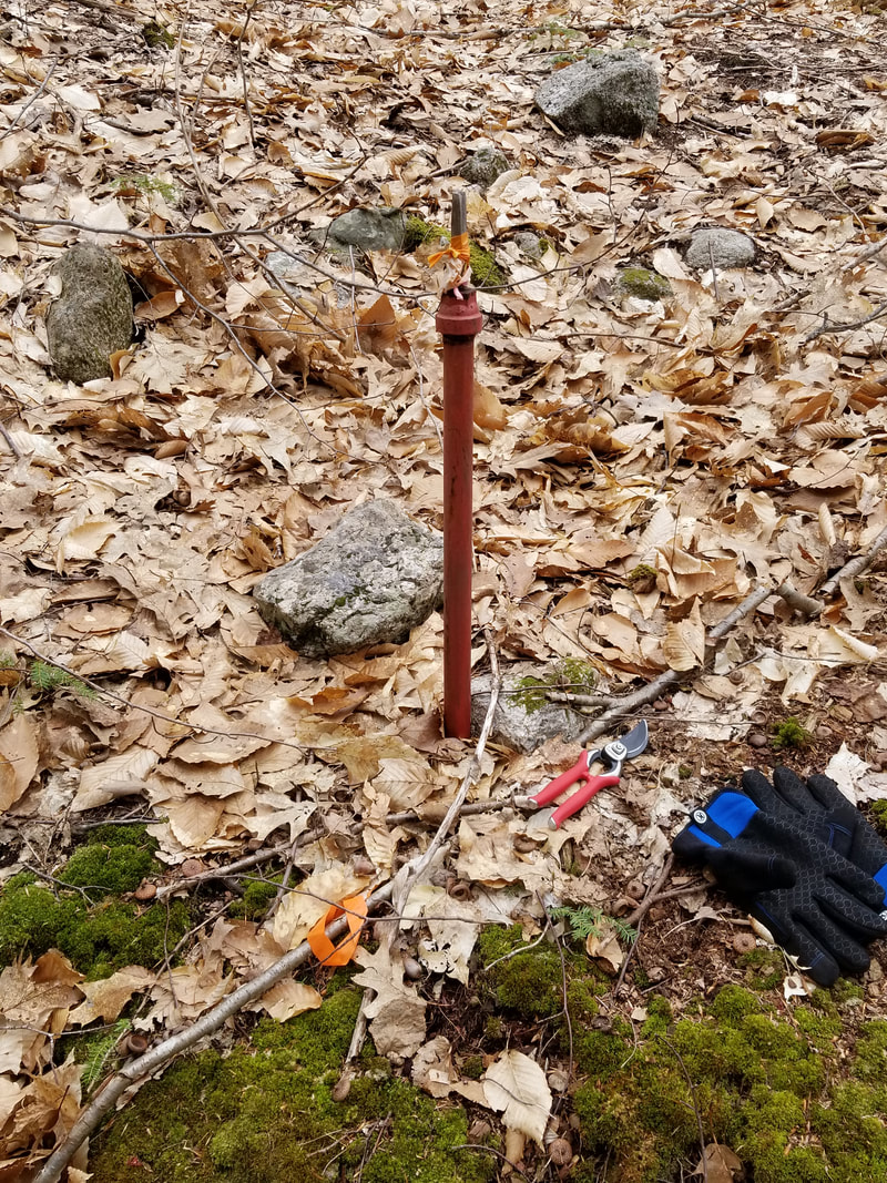
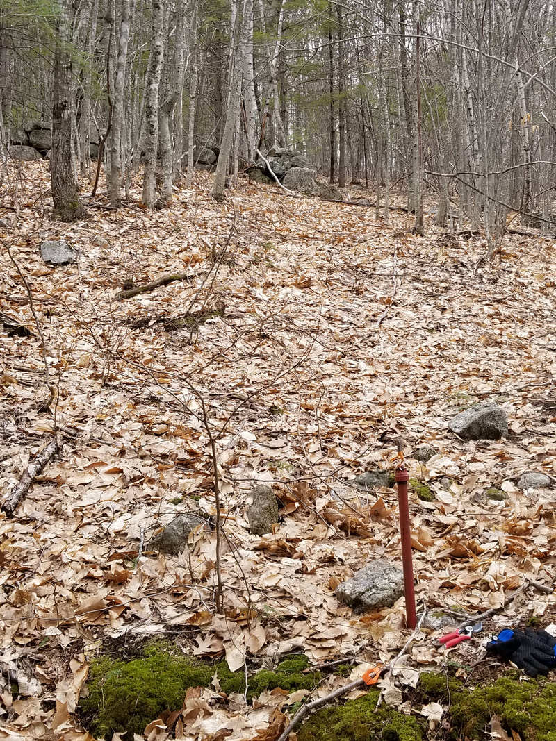
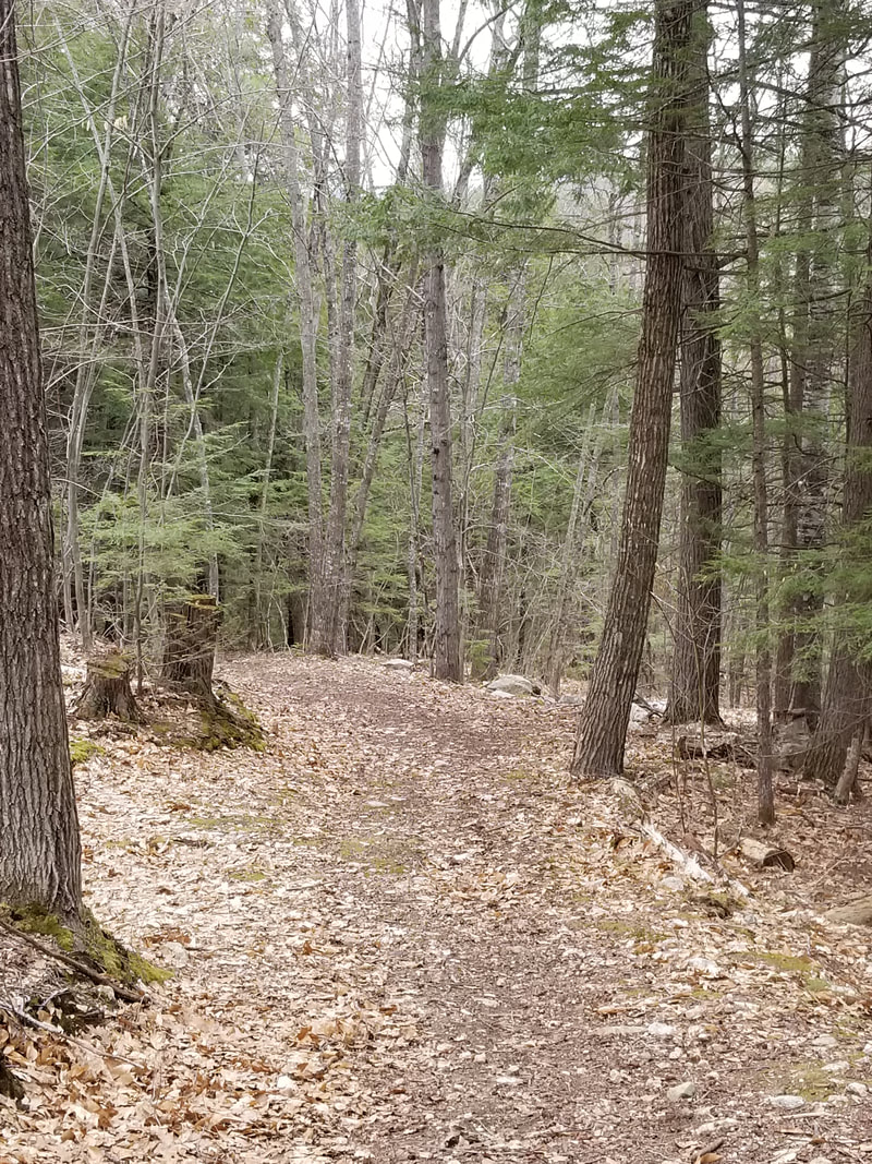
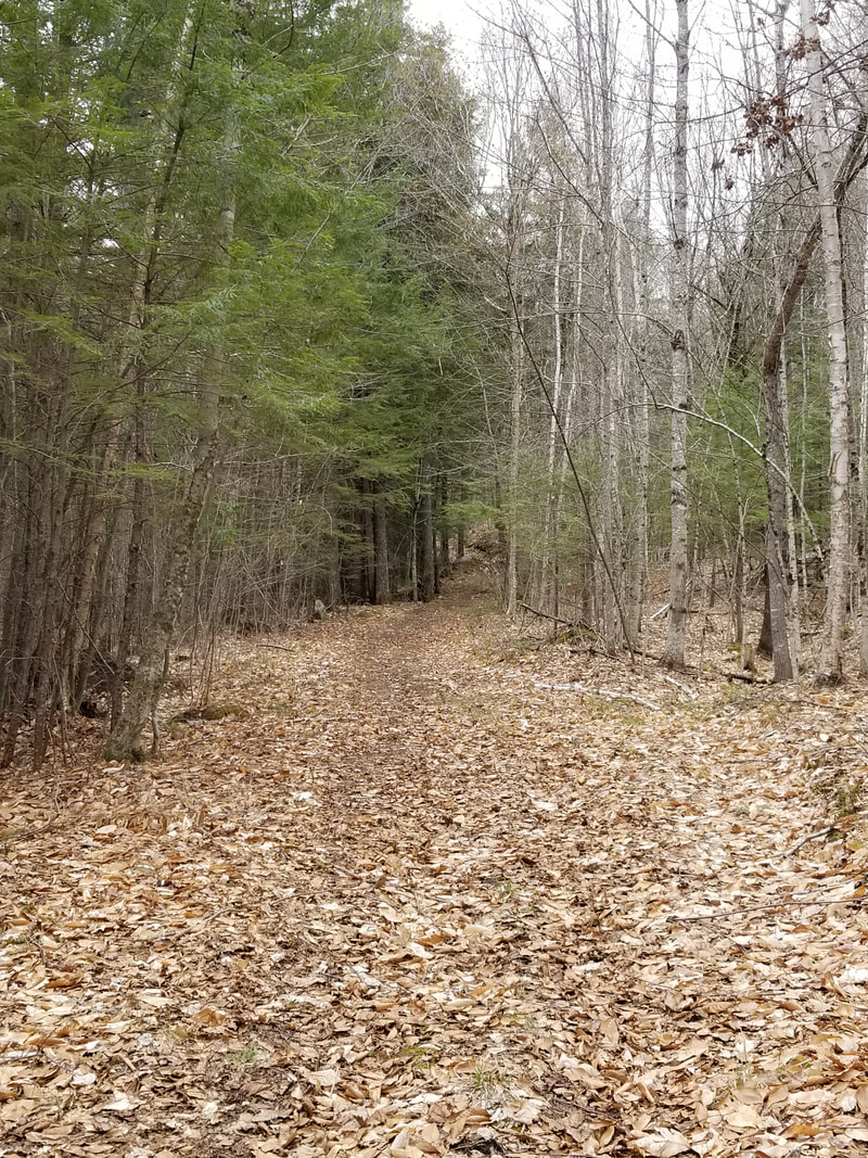
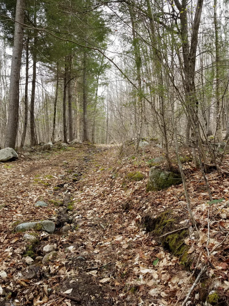
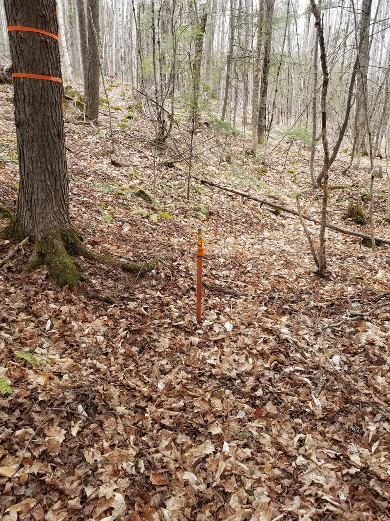
Straight ahead about 20 feet after the stone wall turns South is Pin A. It is just above a trail in the woods that marks the East boundary of the property. The top three pictures show the corner of the stone wall, Pin A, and the relationship between Pin A and the corner of the stone wall (you have to look closely to see the stone wall in the upper left hand corner of the photo) The bottom three photos are walking along the trail. You can tell that ATVs use the trail from track marks in the one or two muddy areas. The trail is NOT part of lot 9C-2. A video of the trail follows the photos...and yes, those are my gloves and pruning sheers because pruning sheers are super helpful when dealing with big trees... At least I tried to be prepared and I did clip a couple of branches to justify the sheers...
|
|
|
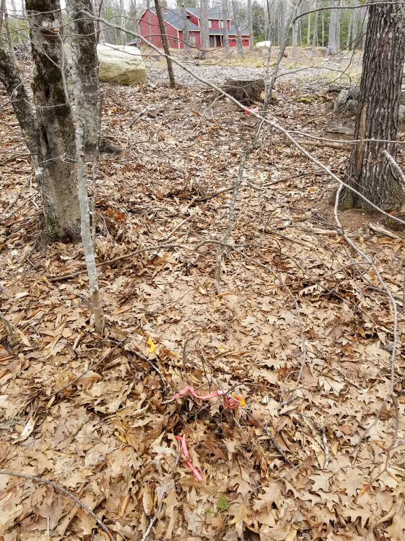
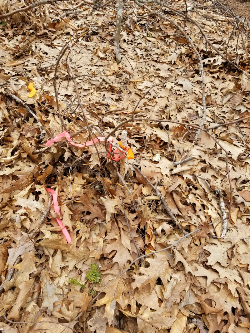
Below in Pin B, which marks the Northern-most part of the property...also the lowest point. The video gives you some sense of the slope of the land.
|
|
From Pin B, you walk uphill to Pin C. It lies just across Loop Road and is 300 feet North of the starting point (also across the road)
In total, the lot is 7.4 acres. About 428 feet from the starting point to Pin A, then 928 feet to Pin B, then 975 feet to Pin C, then 303 feet back to the starting point. Below is a video from Pin C.
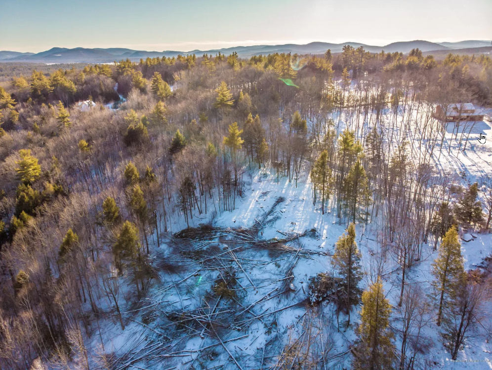
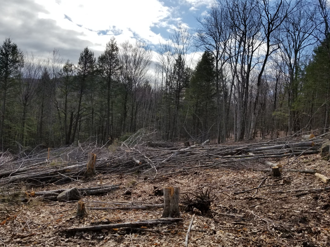
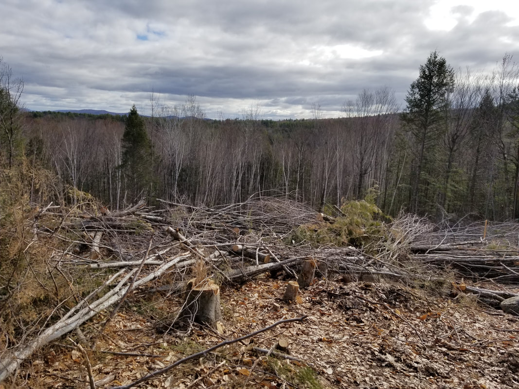
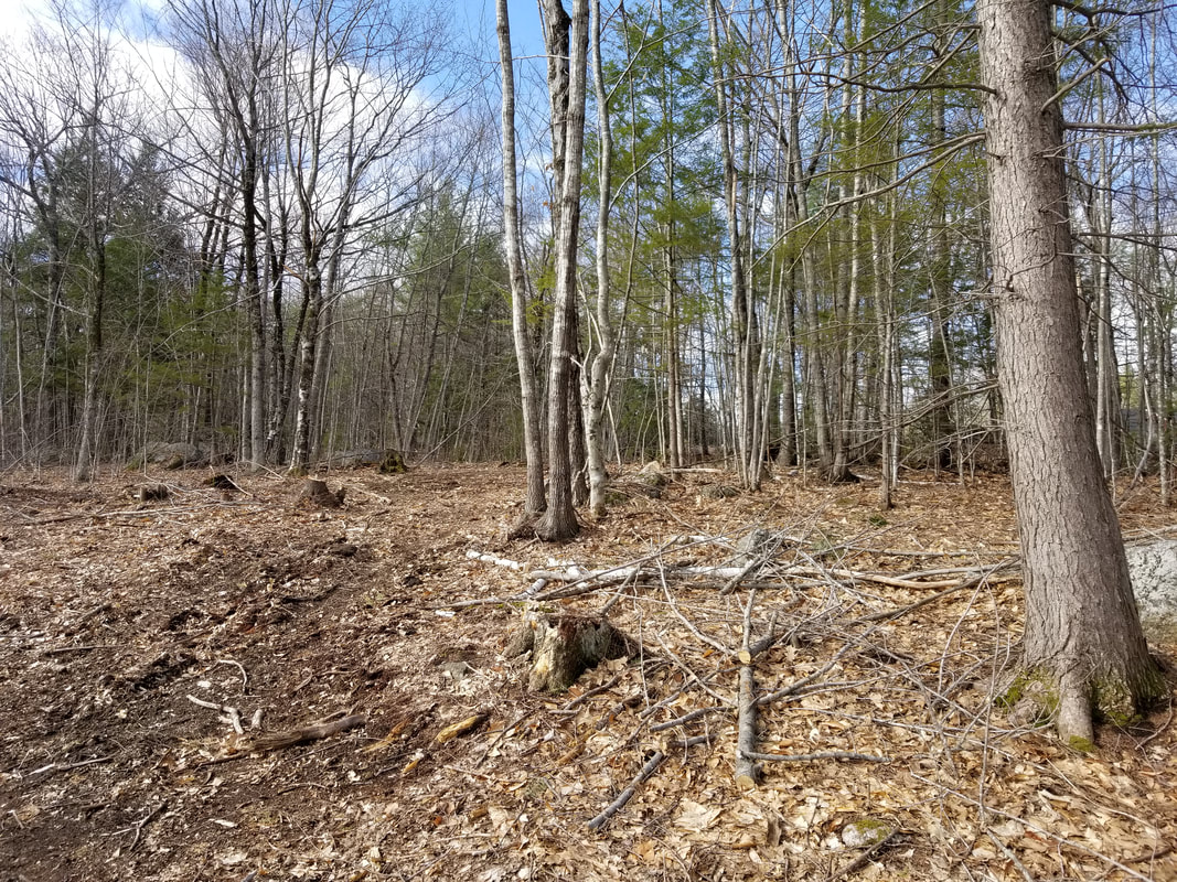
The land is full of trees...most of which are birch (I think), but there are also some evergreens. At some point someone cleared a big patch of trees to open up a view of the White Mountains. Unofrtunately they just left the trees there so they will need to be cleared out. The first two pictures from the left blow are standing at the top of the lot and looking over the cleared area out at the mountains to the Northwest. The third picture is taken from the cleared area up to the road.
Finally, here is an arial view of the top of the property. This image is the from the list on Zillow.